Monday, 1 February 2016

Lerderderg State Park Hike


I had been a bit slow in starting my hiking for the 2015/16 season and with things at work promising to heat up (along with the weather) in December I was really interested in heading out for a overnight somewhere. The Melbourne Cup quickly approached and offered a prime opportunity to sneak away but to where? A resent accident meant I was holding a cracked rib which ruled out anything too adventurist. I made a short list and after factoring in drive times settled on Lerderderg State Park, 45 minutes from Melbourne. Located next to Bacchus Marsh the 20,180 hectare park is defined by a deep gorge cut by river both of which share the parks name. The weather for the weekend looked good. Cooler temperatures with a chance of showers, perfect hiking weather for a Kiwi boy such as myself.

Lerderderg State Park has great access with its proximity to the city. This often leads people to under-estimate the conditions. Search and rescue are called in multiple times a year.
I looked over the tracks and settled on one of two sections. The northern end of the park included the popular camping area O'Briens Crossing and surrounding East Track and Spanish Onion Track with a shared track that looped back to the Crossing. The southern end offered a hike up the Spur Track to a more unvisited weir (something like a dam with controlled release) and flat ground suitable for camping on before following the Long Point Track/Blackwood Range Track back out. With a little space being what I was looking for I selected the latter.

http://parkweb.vic.gov.au/__data/assets/pdf_file/0020/518240/Map-Lerderderg-State-Park.pdf
Considering my slightly painful cracked rib I didn't want to carry to much in the way of gear or pack so opted to use my Tatonka Skill 30 for the hike. I ran over my gear list, checked it twice and ended up with the following:


Clothing - (Carried so not included as packed weight)

Canvas Gaiters (The area is a breeding ground for many snake species)
Gondwana Zip off pants
Hitec Altitude Pro RGS boots
Underarmor Heatgear long sleeve top
Kathmandu woolen mid-layer
Mac in a sac jacket
Target Dry Mid hike socks
Micro fleece beanie
Frill neck sunhat
Buff

Gear -

Taonka Skill 30 - 925g
Tatonka Kyrkja tent - 1.4kg
Kathmandu Pathfinder sleeping bag - 710g
Thermarest Prolite mat - 480g
Tatonka alcohol burner set and fuel - 750g
OSA 2L Hydropak bladder - 120g
Hydropak Stash bottle - 88g
Black Diamond Z-Poles - 290g
Inflatable pillow - 15g
Basic survival and first aid kit - 80g
Toiletries and sunscreen - 150g
Gerber folding blade - 80g
Black Diamond Revolt head torch - 97g
Camp towel - 110g
Atka Pocket Drop micro tarp - 90g
Book, keys, phone, wallet - 400g
Food - 500g
Water - 2kg

Total - 8.3kg

Packed in! Oles for walking and the tent on the outside.
Full contents of the pack. Enough for two days hiking. 
I drove the 45 minutes after a leisurely breakfast at home and arrived at the park entrance at around 9:30. Temperate for the day was due to be a high of 20 and overcast so I packed accordingly with some extra layers encase the temp dropped below the expected of 10 overnight. I parked the car and started to prepare my bag to leave. I few other souls wandered into the carpark with full packs from the trailhead having camped presumably around Grahams Dam. I gentle nod as we crossed paths, one adventure ends and another begins. Away we go!

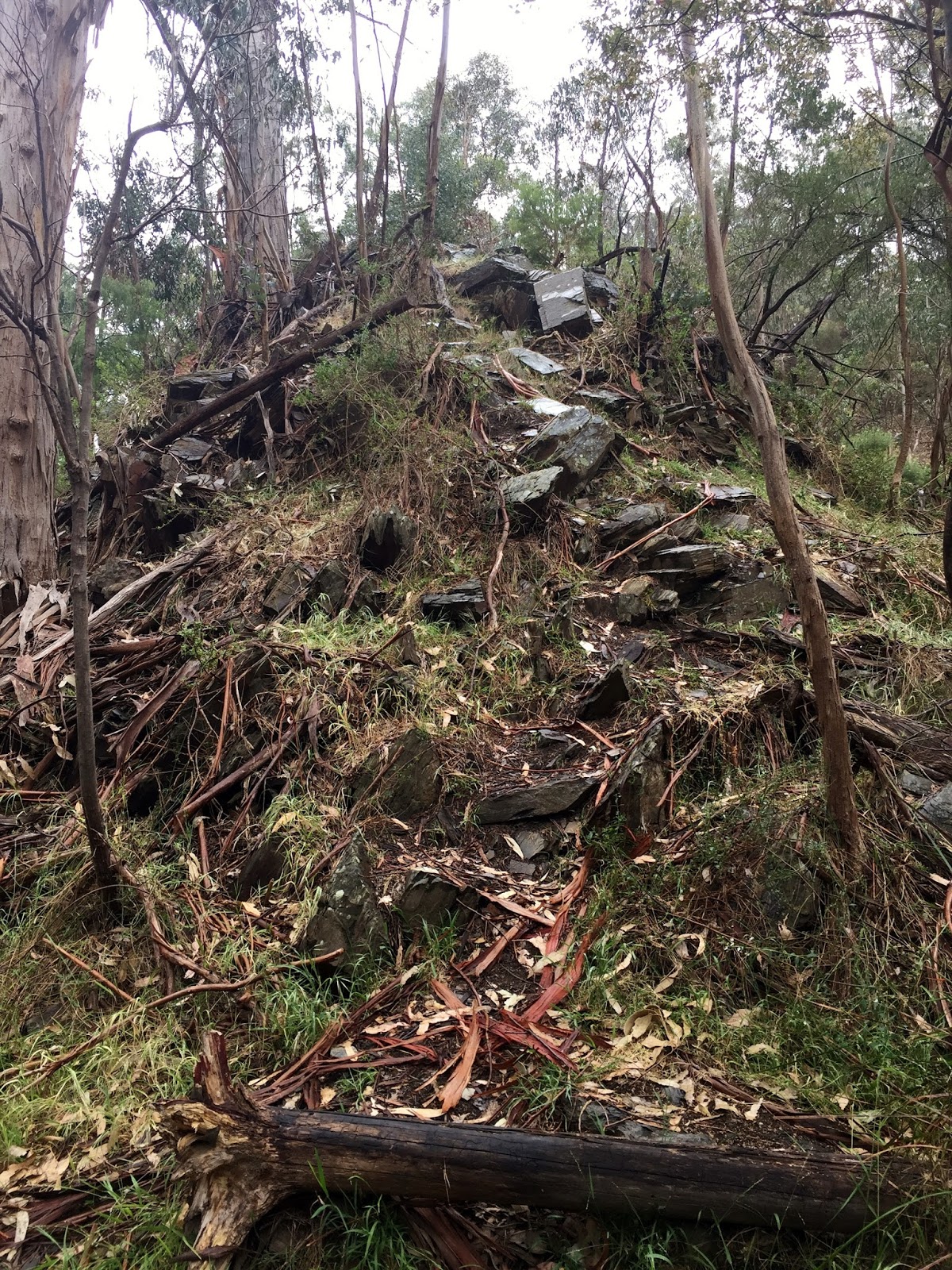
The park at the trailhead was a little disconcerting as I followed the path past the remains of a burnt out stationwagon. The proximity to the city attracted all sorts. I almost rethought my parking the car overnight but that is one of risks you take parking in out of the way spots while walking. The next sight was of a rather muddy pool sitting low after a winter of little rainfall. I was beginning to wonder if O'Briens Crossing would have been the better choice but I pushed on. The hike in was easy enough and became steadily greener. I passed a small collection of walkers ranging from the energetic to the meandering. The flat track was raised from the surrounding and replaced the older track visible higher on the embankment to the right. To the left the river appeared fringed by reeds and the occasional sign warning the unwary of one of the parks more notorious inhabitants - Snakes, including Red Bellied Black Snakes.

Numerous spots in the first 2kms showed signs of small fires but I would not recommend bush bashing to the rivers edge.  
Moving on down the track the clouds began creeping in and the temperature began to drop. I was quickly becoming clear that things were going to get wet. The track turned left, stepping stones crossed the river marking the path to the opposite bank. I dropped pack and began to don my Mac in a sac jacket and cover my pack. The drizzle fell just as I finished shouldering my bag again. Pressing on a found another group of hikers walking out after a night out. They looked up from the path and seemed to take my rainjacket clad appearance as a cue to do the same. Continuing though the low brush I found the trail sign indicating both my way forward and the fact that I (in my hurry to cover up) had missed the fact the body of water I crossed was the bottom of Grahams Dam.

Grahams Dam getting a top up.
Great weather for ducks and Kiwis.
I continued along the river crossing to the right hand side again via another set of stepping stones. The last group of hikers I would see passed me here. A family. Mum, Dad and two kids both under 5yrs of age hiking out after sending a night by the river off the link track. They were happy enough to be heading home. Low mist had gathered in the gorge and the rain continued to fall. Wet hike it would be.

Link Track No.2. leading to the base of the Spur Track.
All zipped up in my Mac in a sac.

The river bank eventually lead me to the start of the Spur Track. The post marker indicated, as had my reading, the track would be steep and difficult the rain. I tightened up my hipbelt and started climbing.

Spur Track marker. Abandon all hope here. Beyond lies bad country without cell reception! 
First section of the track. The angle did not change for some time.
One last glance over the shoulder at the river.
Closer to the top the track finally leveled out in the mists surrounding the gorge. It was eerie. The trail seemed to materialize out of the nether. I could not help but think of areas back home in New Zealand where the mists in remote bush were often rumored to hide spirits of the lands original peoples. People often reporting hearing voices in the fog. No voices today. Just my heavy breathing.

Misty path through the bush.
Following the easing grade I finally found myself on the service road that would lead me to the weir. I would have preferred to have stayed off shared tracks of roadways but the path I had planned to take as a looped walk meant it was unavoidable. That said I saw no traffic on the road. I had expected more 4x4 traffic as the area is known for a good amount of dirt tracks and free campsites but these appeared to have been limited to OBriens Crossing end of the park. 

Service road to the weir.
The road carried me down to the weir itself. I had read it was a good place to camp with flat high ground just off the track itself above any threat of flash flooding. As I walked down a small herd of goats moved off the grass at the low water edge back into the bush. The whole place was silent and serene. I laid down my pack and had a wander around.

The weir. Low on water this time of year.  
Packs down. Skill daypack with X-Zero frame was great so far. Time for lunch.
The south side of the weir. Track marker leading off to the right leading to Long Point Track.
The weir looking back.
Water for coffee and my dehydrated meal. Water drawn from the flowing water below the weir.

My original plan had been to camp here overnight. I had a poke around the fish ladder and base of the weir. The water was almost entirely gone on the northern side but a steady stream flowed from two small outlets on the downriver side which is where I drew my water. Looking off to the right I could see the post marker for what was my intended route back up to the Blackwood Track via Long Point Track. Its was only 1:00pm by the time I had finished my lunch and I hardly felt like I had even stretched my legs. I pulled out my map and pondered the idea of extending my hike. Long Point was the only path from here other then the way I had come. This would lead me to the Blackwood Track offering a selection of paths, many of which were shared access/4x4 tracks both of which I preferred to avoid. None of the hikes offered a loop back to the start without crossing my own path again, something I wished to avoid. The map showed everything beyond the weir as being part of The Bear Head Range. Following from the far end of the Blackwood Ranges Track to the river was another track appropriately called Bears Head Range Track.  Beyond that there was little else in the way of tracks. The area is relatively inaccessible and trail marker marking the end of the Bears Head Range Track was one of the last. I scanned the grassy area immediately in ahead of me as I sipped the last of my steaming cup of coffee. Only a small pool remained of what was normally a sizable river. The temperature was hovering around 12 degrees and light rain continued to fall. I began to wonder, could I follow the river up stream? The gorge was meant to be full of impassable sections where the steep banks of the gorge offered no footing, water flowing steadily at its base but it had been a dry winter. Even if I could not make it all the way to the trail marker I could look for a flat section on the river bank for the night and hike back. I gathered my kit, shouldered my pack and started up the river.

Walking the river bed involved looking for changes to the way the river flowed to pick which side I would need to be on to move forward.
The river bed showed sides that little water had fallen in the past few months. I other areas low shrub was so dense I had to pick my way through beating back small branches with my walking poles. As time passed small pools lead to larger bodies of slow flowing water. Within the hour I was having to pick the flow of the river to fine the correct bank to be on to continue forward. One side would often prove to be nothing more then a cliff facing while the other while covered in bush would eventually give way to shallow sections where I could move forward walking through the river itself. The water was low but the slow flow meant algae covered the river rocks. I pulled out my poles for extra support but went down a number of times earning a gasp of pain as I jarred my cracked rib. I began to question my good sense.

Rocky outcrops at a few key points meant so tricky climbing.
Another hour up the river scrambling at points on my hands and knees and I found myself facing a sizable obstetrical. The very nature of Australia's geographic makeup had resulted in a vertical section of rock that crossed from one side of the river to the other. And while the river itself had worn it down at the center the two remaining outcrops remained. Staring across the deep water I could see the far side offer a much easier chance to climb over but it would mean back tracking and I could not remember how far back it was to a point I could cross again or for that matter if the other side offered a path forward at all. To get this far and have to go back was frustrating but what began to weigh on me was the fact the banks were steadily steepening and that I could soon find myself facing further hurdles. My stubborn nature got the best of me. I gritted my teeth and began climbing. I had to feel for handholds beyond my vision as I stretched flat against the rock face. I was reminded I am no climber. I slipped twice almost falling in the water below. I nasty prospect in the cold with only what I had on as far as dry clothing and not dry bag in may pack. Eventually I found a solid footing and finally slide down unceremoniously on my butt over to the other side. Looking back up at the outcrop it was clear I could not have managed it with my regular pack. The skills smaller size allowed for great range of movement while scrambling. Another bonus when packing light.

Stuck on the wrong side of the river the rocky out crop was a pain to climb with my cracked rib. I could not have done it in a heavier pack.
Where did I leave my fishing line?
Easy enough in some places. Slippery rocks proved difficult even with poles. I went down hard three times and my rib paid for it.
The day pressed on and I found myself looking more frequently at my watch and referencing my map. The river had been relatively straight for some time with the water level remaining low enough to walk the river bed again. the previous 2 km had taken a good amount of energy to cover. I was starting to look forward to setting up camp more and more. It was 4pm and I was not sure how much more ground I had to cover. The river turned steadily left and right again before straightening once more. Close to 5:30 now I began to start looking for the trail marker in earnest. A hint of fear that I would miss it began to work its way into my mind. The river turned left finally, almost back on itself. This was what I had been waiting for and should be the end of the track I need. I drew water from the river for cooking and began walking the bank looking for the marker.

The stacks of rocks here lead me to believe there was some sort of old building nearby. I now think that these were ether created to retain the banks by hikers of a form a strange natural formation.
Water drawn from the river for my night higher up.
At the base of a small gum tree I found a stacked pile of stones or kairn. I began moving furhter up the bank but could see nothing to indicate a further path. A large bank was all that was visible. I scaled it in hope of a better view. behind the first bank was a second steeper bank and nothing more. Walking the top of the first bank I continued to search for a way up. Moments later I found myself standing on the edge of gap in the first embankment. It appeared to be sectioned off with stacked stones. I had seem similar sections on the banks of the river and at one point even climbed up to investigate. After some of the stacked rock had given way underfoot and I was saved from sliding down only by grabbing a fist full of thorny branches I had dismissed it as the remains of rockslides, pinned behind trees the loose dirt must have washed away making it appear to be stacked as if by hand. But here with its proximity to the kairn I took some more time to look around. Trees grew in the gap. It was undoubtedly old and did not have the appearance of being well walked. I turned to walk back to the river bed and looked back up at the back beyond the tree I had my hand against for support. I was then that I noticed what has to be the worst trail marker I have ever come across. A faded, translucent orange plastic triangle nailed 2.5 meters in the air. I stared for a moment in a moment of combined disbelief and amusement. Looking beyond to the second bank a section of crumbled earth could be seen. Climbing up I found a small section of clear flat ground and the much awaited trail marker.

Trail marker but no clear path off the river.
Walking the bank I found a walled section.
High up on the tree the worlds most useless trail marker.
Once again I found myself at a perfectly serviceable camp site close to the waters edge. I sat for moment. Pulled a snack out of my pack and looked at the mpa once more. at a rough guess I would say I had hiked 12 km thus far. The ridge leading from the river up to the track loomed ahead. It was late in the day and I would soon be losing light. The temptation to set up camp and enjoy the evening was great but I still had some energy in the tank. The idea of climbing the following morning just didn't sit well. I packed away my map and pulled out one of my gel shots. Down the hatch and up th ridge it is.

Bears Head Range Track has teeth.
Photos did not do the narrow track and drops ether side justice.
The ridge was unlike anything I have walked. Climbing up out of the trees it was as narrow as 50cm in places with sizable drops off both sides. It was at such a scale I struggled to capture it with the camera and eventually gave up altogether. The track climbed ever upwards towards larger rock formations. In some places the track was more of a toe hold around great outcrops of rock. My rock climbing skills (or lack of) surfaced again. This section was the most enjoyable of the whole trip.

Path forward half a meter wide in places.
No clear path just a climb.
The grade of the track eventually changed. Referring to my map again I expected the trail to open out into something more like a unsealed road as indicated. The whole section was meant to take 3.5 hours with the change happening before the half way point. 2.5 hours later and the track had not opened up I began to worry I was falling off the pace. To my surprise I emerged from the bush to a 4x4 access road half an hour later. The marker nearby read LER 512. It appeared the change in track indicated on the map was actually far more marginal and I had reached the top of the gorge once again. I set up camp here for the night. Grateful for dinner and coffee it was dark soon after and I crawled happily into my tent for the night. Light rain hitting the fly putting me to sleep.

Stow away!
Camp for the night. Not as nice as by the river but a way ahead for tomorrow.
Dinner and bed before 8:30
I woke up a little later then expected the next morning. I missed the sunrise and the chance to get a drop on the days hiking. The weather was meant to warm up and on the exposed ridge I wanted to beat the heat. I packed in a quick bowl of oats and broke camp round 7am. The walk was gentle enough but my legs were sore from the workout the day before. The walk was rather uneventful. Again I had the track to myself. As the time approached 11am I had rounded the sign posts onto the Blackwood Range Track. The heat started to draw out the flies but this only spurred me on. Close to the start of the No2 Link Track I spotted a kairn. Knowing the trip would soon be at an end I took the chance to walk off the main track and see what it did in fact indicate. The view that opened up was well worth the detour.

Sun up and pack down.
The path home 
Views from the Blackwood Track and top of the gorge.
The big view.
The final marker appeared indicating the path down No1 Link Track to the dam again. It proved steep and covered in loose gravel. At different stages I resorted to hands and knees. I couple walking up the path stopped for a chat and reassured me it was easier going lower down but it remained much the same for the tracks length. Finally after an hour the dam pulled into view. A group of families had set up a BBQ in the sun and were in the process of enjoying a swim before lunch. I weighed up whether to take a dip myself but the smell of cooking food reminded me of my increasing hunger. I opted to make for the car and a well deserved feed on the return Melbourne.

The trail back to the dam was loose in places. 
The dam comes into view and the adventure ends.
The full map of the hike showed just how far I had covered. I concerned myself fortunate that the low river allowed me to follow the river up stream and the the cooler weather kept the snakes inside. I would recommend Lerderderg to anyone looking for a quick weekend adventure without hours in the car. It can pack out in the warmer weather and is often used but other 4x4 enthusiasts and families so be prepared to share the space.

Day one and two of the hike.

No comments:

Post a Comment